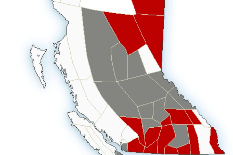
Environment Canada has issued a special weather statement for the Cariboo Chilcotin with periods of heavy snow and blowing snow expected.
Between five cm of snow is anticipated to fall in many areas and 10 cm of snow in higher elevatsions, coupled with northwest winds of 30 km/h gusting to 50 km/h is in the forecast.
There is also a highway alert in place on Highway 97 from Clinton 100 Mile House.
“An intense Pacific cold front will sweep across the Interior from north to south late today and tonight,” the Environment Canada webiste noted Saturday, Nov. 26. “A band of heavy snow and strong northwest winds associated with the front will cause poor visibility for about two or the hours.”
Temperatures are expected to begin to drop to lows of-12 C on Sunday evening, -15 C on Monday, eventually -30 C on Wednesday.
monica.lamb-yorski@wltribune.com
Like us on Facebook and follow us on Twitter