Tourism in the South Cariboo will hopefully get a boost with help of an online directory.
The directory, completed last year, is designed to help make planning a trip to the Land of Hidden Waters - or Highway 24 - as hassle-free as possible while highlighting all the area has to offer. It includes links to accommodations, restaurants, activities, interactive maps, stories on the area and more.
There are six main categories to the directory: places to stay, things to do, stories, EV road trips, responsible travel and getting here. There are also helpful items such as The Ten Essentials, a guide to being prepared for anything in a land where cell phone service can be non-existent or for planning an EV road trip.
“We’re a large area with a lack of funds. Compared to Jasper or Whistler, we don’t stand a chance. This is why we began the Land of Hidden Waters project,’ said Fishing Highway 24 president Irene Meili.
The project is a marketing collaboration between Fishing Highway 24 TA, Tourism Kamloops and various other regional tourism boards in hopes of increasing the number of visitors to the area.
”Whether you’re visiting for the adventure or passing through on the way to another, we invite the world to responsibly and sustainably explore BC’s Land of Hidden Waters,” a page on the website says of the area. “They’re hidden, yes, but they beg to be explored.”
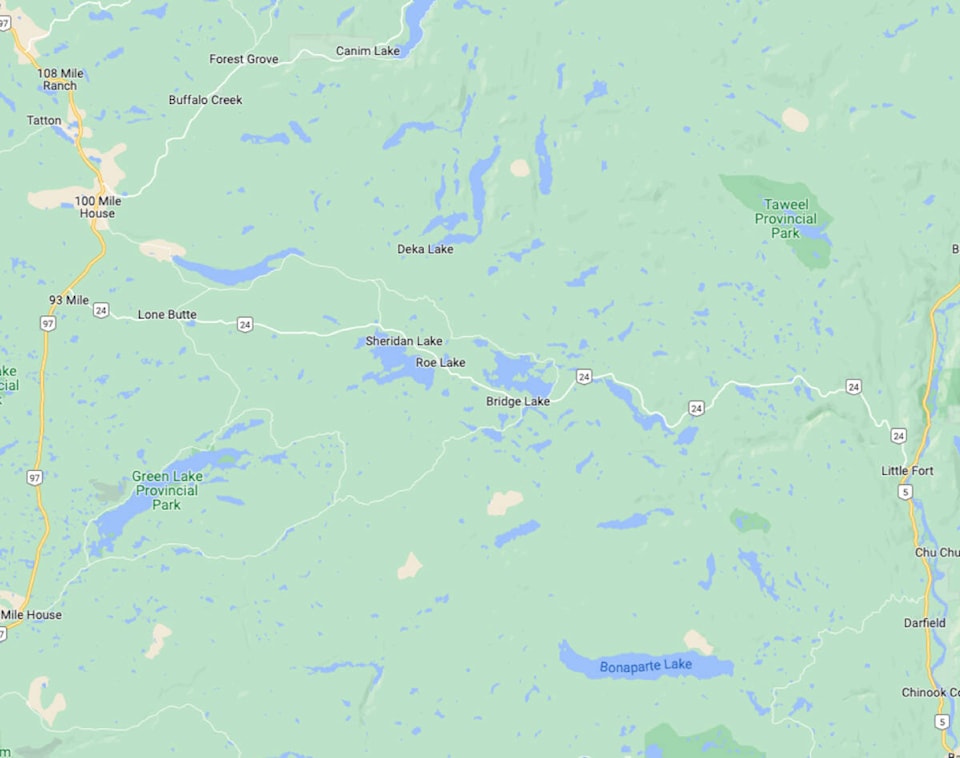
A printed map designed to work alongside the virtual directory is a handy reference guide for those places where the internet and cell phones do not work.
An overview map of the Land of Hidden Waters is on one side, with a zoomed-in map of the BC Fishing Highway 24 on the other. It is tear-resistant, waterproof and compatible with dry-erase pens.
The printed version includes “industry-leading topographic detail, unparalleled road coverage and countless trails, rec sites, and fishing spots along with labelled fish species, stocked fishing lakes and rivers, and clearly labelled boat launches and fishing docks.”
fiona.grisswell@100milefreepress.net
Like us on Facebook and follow us on Twitter