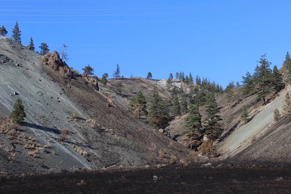
The Elephant Hill wildfire has a new fire perimeter mapped at 61,499 hectares.
“The changes are due to better mapping information as well as some minor growth that occurred yesterday when the cold front came through,” says Fire Information Officer Rosalie MacAulay.
The 61,499 hectares is up from an estimated 59,158 hectares.
Today, she says, there have been no challenges or danger to people or crews.
“The hotspots did flare up due to the change in weather so resources were allocated to those hotspots to work on them, including there was one that was visible from Cache Creek that we had aerial support as well as ground crews on,” she says.
More aerial support was working on that section of the fire, part of Division B, today.
She says that most of the increased fire activity that occurred yesterday was within the main body of the fire, including the fire activity visible from Cache Creek.
Today things are “pretty much status quo,” she says.
“We didn’t have the winds today compared to yesterday, [however] the temperatures have increased.”