There’s a severe thunderstorm watch in effect for the Central Interior, including the South Cariboo, Williams Lake, Quesnel and south-east area of the province.
“We have a pretty vigorous cold front that’s going to sweep across the province today, I’m sure you can already feel that muggy air that’s in place, and humidity is one of the key factors here for the development of thunderstorms,” says Matt MacDonald, a meteorologist with Environment Canada.
“The situation today is particularly juicy… There’s the potential for severe thunderstorms to develop, so not just your garden variety thunderstorms. Rather, potentially severe meaning we could see some quite heavy downpours with local amounts of 15 millimetres in a short period of time and then some strong gusts associated with those thunderstorms as well, perhaps upwards of 60 to 70 km an hour.”
According to MacDonald, today’s storm is quite different from the windstorms that took place about two weeks ago.
“Today’s cold front is more about thunderstorms [as opposed to windstorms] and thunderstorms, instead of spreading widespread winds across the province, [the impact will] depend on where these thunderstorms develop.”
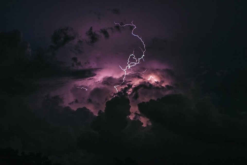
MacDonald warns people that anytime you hear thunder you’re within striking distance and that we had the first lighting victim of the season on Vancouver Island on May 30.
“You need to take lightening serious. Often times people wait a little bit too long for the rain to be over them to seek shelter… Really the only safe place during a lightning storm is indoors in a solid building or an all-metal vehicle.”
After the cold front moves through, temperatures are expected to drop quite significantly (to a high of 12 degrees on Friday in 100 Mile House).