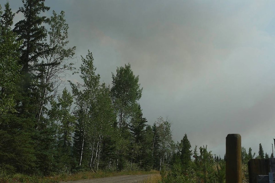
While rains are expected to help cool the Elephant Hill fire into the day today (Aug. 24), yesterday saw aggressive fire behaviour on the north and east flanks of the fire, says Fire Information Officer Claire Allen.
There were excursions beyond fire lines near the Hutchinson Lake area, north east of Young Lake and on the northernmost tip due east of Green Lake.
“So some growth there, but primarily the guards held yesterday on the north flank,” says Allen.
“Off that Hutchinson area crews are looking to build containment lines and tie it into the Bonaparte River and then across the top there. Our objective is to keep any fire growth from moving further north and [to] protect the community of Green Lake. In the Hutchinson Lake area, we have had a structural protection focus as well, just on any at risk properties as the fire has become more active in that area again.”
Contingency lines are being built using Young Lake as a southern anchor point moving north and then west, in case the fire jumps containment lines.
“Containment lines are the ones that are a lot tighter to the fire and we’ll build a fuel free barrier and then do controlled ignitions as necessary and when it is safe to do so just to remove fuel from the fire’s path. Now, a lot of those, through the history of the fire, have been challenged just given the really difficult conditions as well as the topography and fuel type that we are up against here so the contingency guards are our backup plan, and the plan is to build several of those so we’ll have an onion layer of contingency guards and those will be across the north east of the fire.
“We are starting construction using the Young Lake area and working up using existing road systems and tying into lakes and natural features such as wetlands so we can get those lines in place faster as well as lessen the long term impact on the landscape.”
The wet weather will help crews, says Allen, however that weather is expected to come with strong and gusty winds.
An Environment Canada weather statement says that southwest winds of 50 to 60 km/h will shift to the northwest as a cold front sweeps through central and southern B.C.
“Many areas of the fire have received some spotty precipitation and that will really help our crews get in there … to get containment lines and extinguish hot spots in those more active areas of the fire that up until this point have been unsafe to have direct action. For right now, we’re pretty thankful for the rain that we are getting. Unfortunately, it doesn’t look like it is going to last and it did come with some winds so we are assessing where we may have had any challenge to containment lines at this time but crews are out there today working with heavy equipment and working as fast as we can to use this weather to our advantage.”
They’ll have to wait and see where the rain has helped, however, Allen says the higher relative humidities and cooler temperatures should help reduce the intensity of the fire activity being seen in the late afternoons.